North to Colorado

North is typically associated with snow and cold, but this season snow and cold came south to Oracle AZ and found me! I have been roundly snowed on every year since I started this epic road-trip

About 3″ of the white stuff fell from the sky
Plus the wind is blowing 25 mph

After the snow had a chance to melt the boiz and I struck out into the wind (about 30 mph!) toward New Mexico. We got as far as Hatch where we found a vacant lot near the memorial park. Lots of brightly colored flowers and do-dads adorned many of the resting places. At night the solar-power lights came on and the park looked like houses lit up with fancy lights for Christmas

Camped near the memorial park in Hatch NM

The next day was a short trip up-valley to about 25 miles north of Truth or Consequences NM. Met and old rancher who said he’d been around here 75 years. He told me there have been a lot of people moving here from CA and WA. Getting away from fires and rain he said

North of T or C New Mexico. Plenty of brush for everyone

Found a place to let the boiz out

100 Posts!

A year into our big adventure and we have posted 100 times! YaY!

Didn’t get stuck!

Sand Hollow State Park to Gooseberry Canyon Road
After a long day on the road we got muded out of our planned camp spot. Almost got stuck in the mud, but didn’t!

Kitty hunting big game in the Utah desert

We ended up in a nearby UDOT work yard where the boys got to play in the mud and make little kitty paw prints

Beacon Station, CA

Beacon Station petrol stop since 1924


This place reminds me of Radiator Springs! I was wondering around and met Paco. Paco has been here for 20 years now. He drives the local tow truck (yup, Mater). He told me the place was founded in 1924 by a family who ran it until 1980. Back then there was no I-15. Highway 93 (maybe) was the route from Barstow to Vegas and it was a bit more bendy and followed the curves in the desert. Paco said back then there were gas and repair stations about every twenty miles. He said that was because twenty miles was as far as a car could go before needing repairs.

Not to scale
Looking up runway toward the gas station

Now there are three families living and working at the Beacon Station Shell gas store. The current owner also has a plane which occasionally lands here. There use to be two runways, but now it looks like only about half of one runway is still useful. They got a water well when the new owners took over, before that they hauled water in.

Looking down runway at the useful part

A walk around the desert was a trip back in trash-time. There are cans strewn about the desert many of which are oil cans from a time when oil came in cans. There are drink cans which were opened with a church-key, drinks opened with removable pull tabs, and modern cans too. Some of the vintage cans are all-steel, while other have an aluminum top. The aluminum top lasts way longer than the steel can.

The wind-sock has seen happier days

It’s amazing how long trash lasts. I hope a hundred years from now people will be as interested in old starbucks cans as we are in old oil cans. On the other hand diapers from 1930 decomposed long ago. Not so diapers from the 21st century.

It snowed two nights ago. Now the grass is growing so fast you can see the difference from morning to noon
Smokeless tobacco is known to the state of California to burn semi-trucks to the ground
All the brown spots are piles of old oil cans
Drink can on the left, Oil can on the right, floating in a sea of beer-bottle glass. Multi-media circa 1940
Old-style drink can opened with a church-key
Steel can with aluminum top. Old pull-tab style
Modern aluminum can with captive pop-top. Thanks Starbucks!

Bakersfield to Rasor Road


Still in California
We left About 8:30 and headed up the hill towards Mojave. It started out green, turned to white, and then transitioned to brown. We stopped for lunch at the rest area near the Borax factory. We could see the planes flying from Edwards AFB – Zoom! I was going to visit the Flight Test Museum, but it’s off limits to muggles (It’s on-base and behind many gates and guards)

Over the hills to Mojave
Much drier now. Still cold, but it’s a dry cold

After we got back on the road a B-1 Bomber buzzed us! I heard it long before I saw it and it was loud!

This was our 5th day in a row on the road so Plan A is to spend a couple nights here in the desert south of Vegas. I picked a spot where the boys can go outside and play with rocks if they want to

Who let the boys out?

There is good solar access here; no trees to block the juice-making photons!

Ridgway to Chaffe County 194

IMG_1866
Down river from Ridgway to Montrose was delightful! A slight following wind, green pastures, and baby animals lined the route (mostly I saw baby horses and baby cows). From Montrose to the top of the first pass the meadows were green with sweet spring grass and the creeks were running full. At the top of the pass the scene switched to grays, browns, and tans.

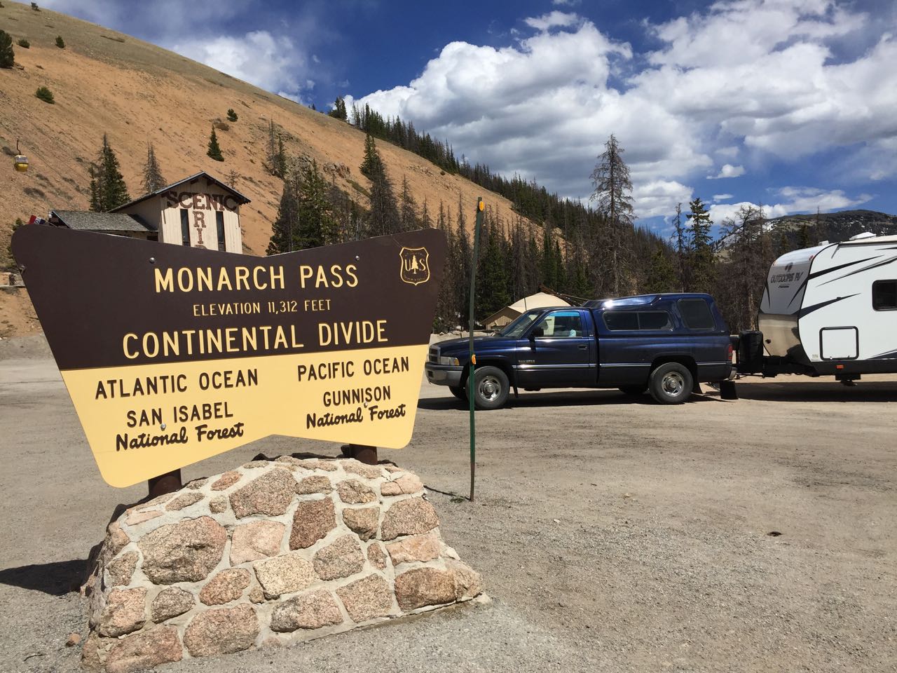
The trees lining the creeks feeding into Blue Mesa Reservoir were green, but all around was parched. We stopped for siesta at the east-end of Blue Mesa and afterwards were treated to a 20 mph tailwind. The tailwind held all the way through Gunnison and up Monarch Pass though I’m not sure how much it was pushing us at our 25 mph climbing speed.

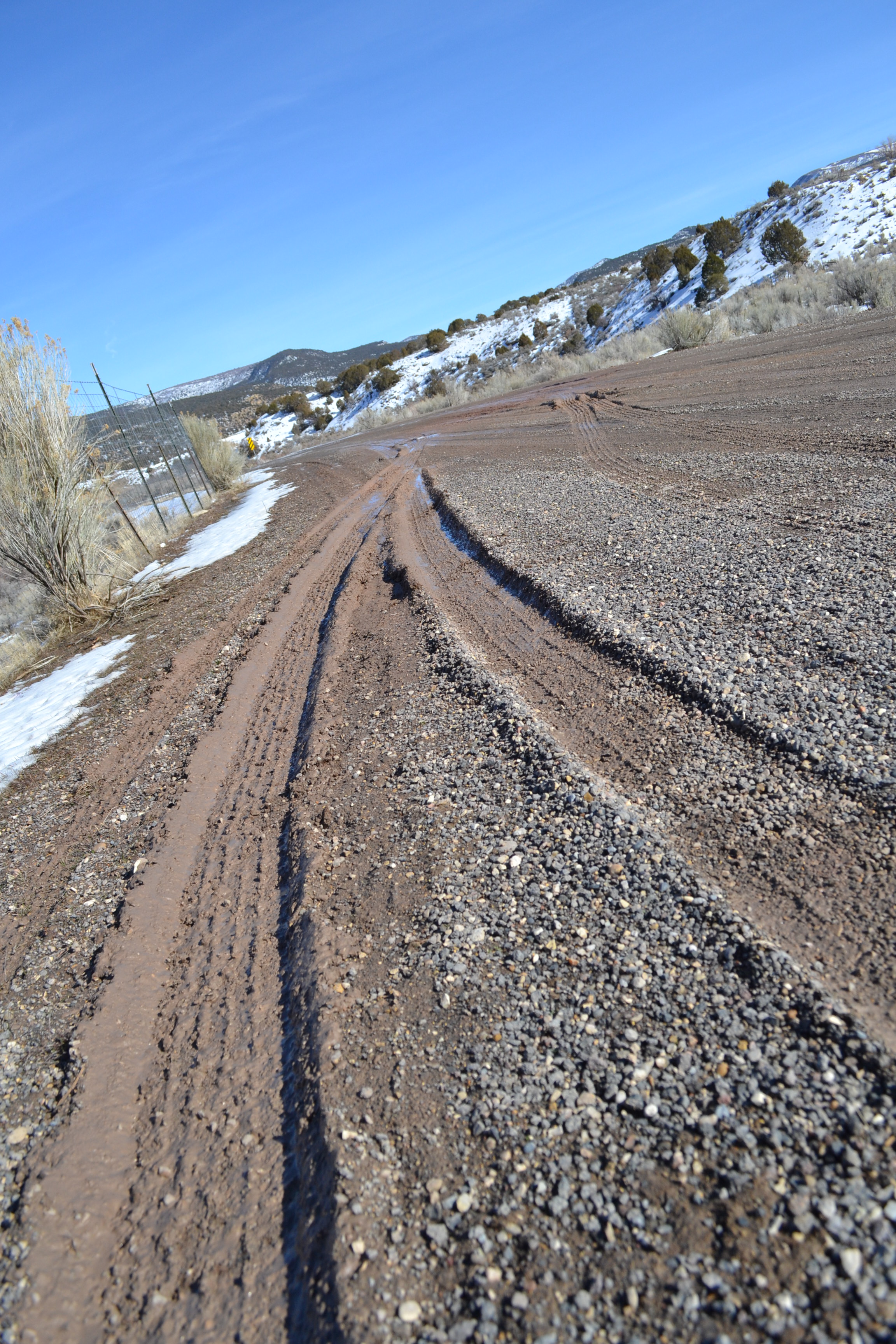
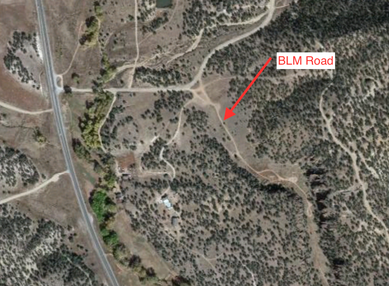
Down the east side of the pass (again with the 25 mph thing so we don’t end up in a runaway truck ramp) to Poncha Springs – where the hot-springs water you could soak in at the Salida pool comes from – then North to Chaffe County 194/ BLM 5611. Ultimate Campgrounds (.com) showed me this place as I was searching and it’s very convenient being as it’s half way between Ridgway and Denver. It’s a small canyon area with plenty of sagebrush and pine trees.

IMG_1868

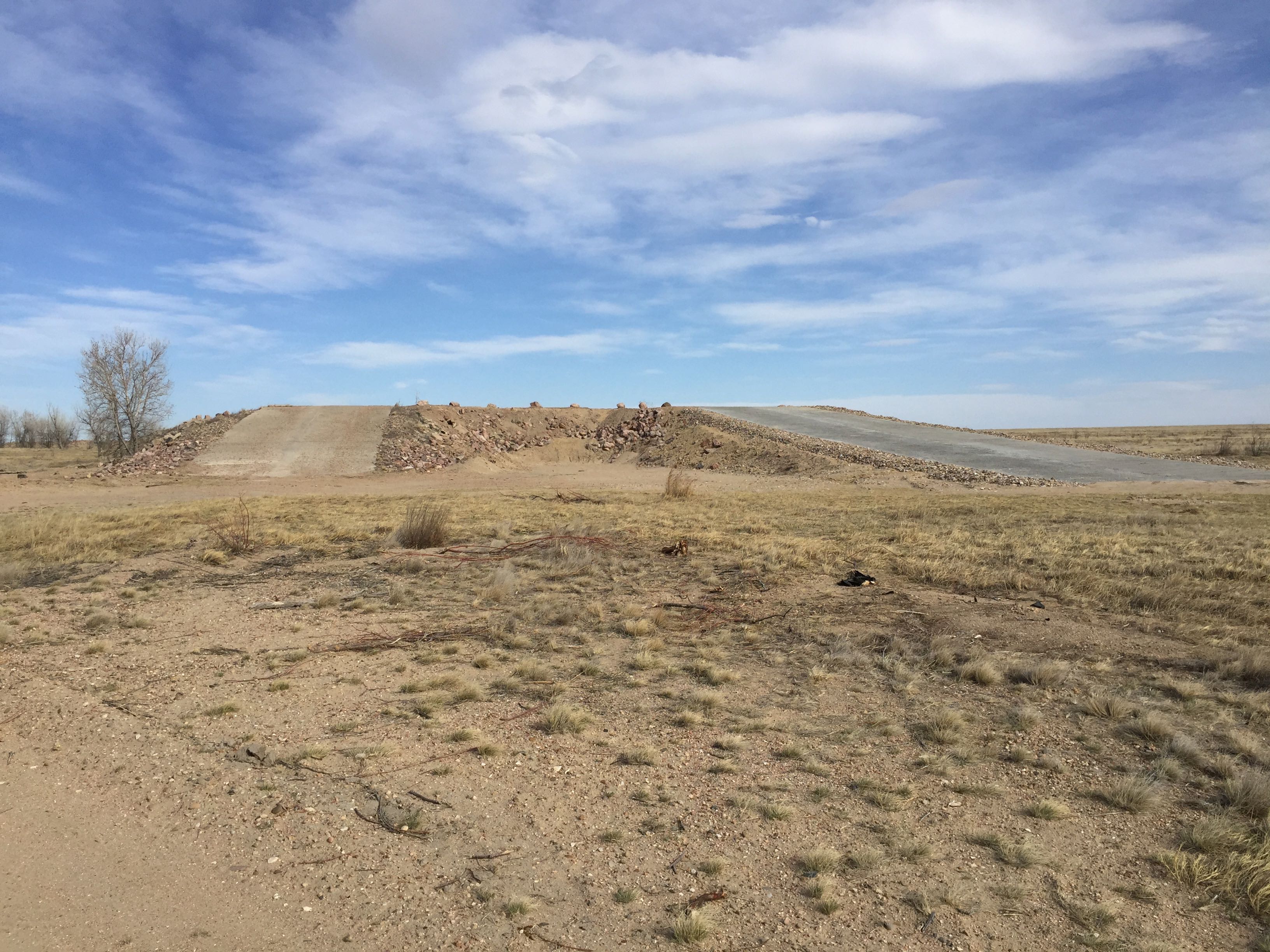
The sign post was leaning in a tree when we visited

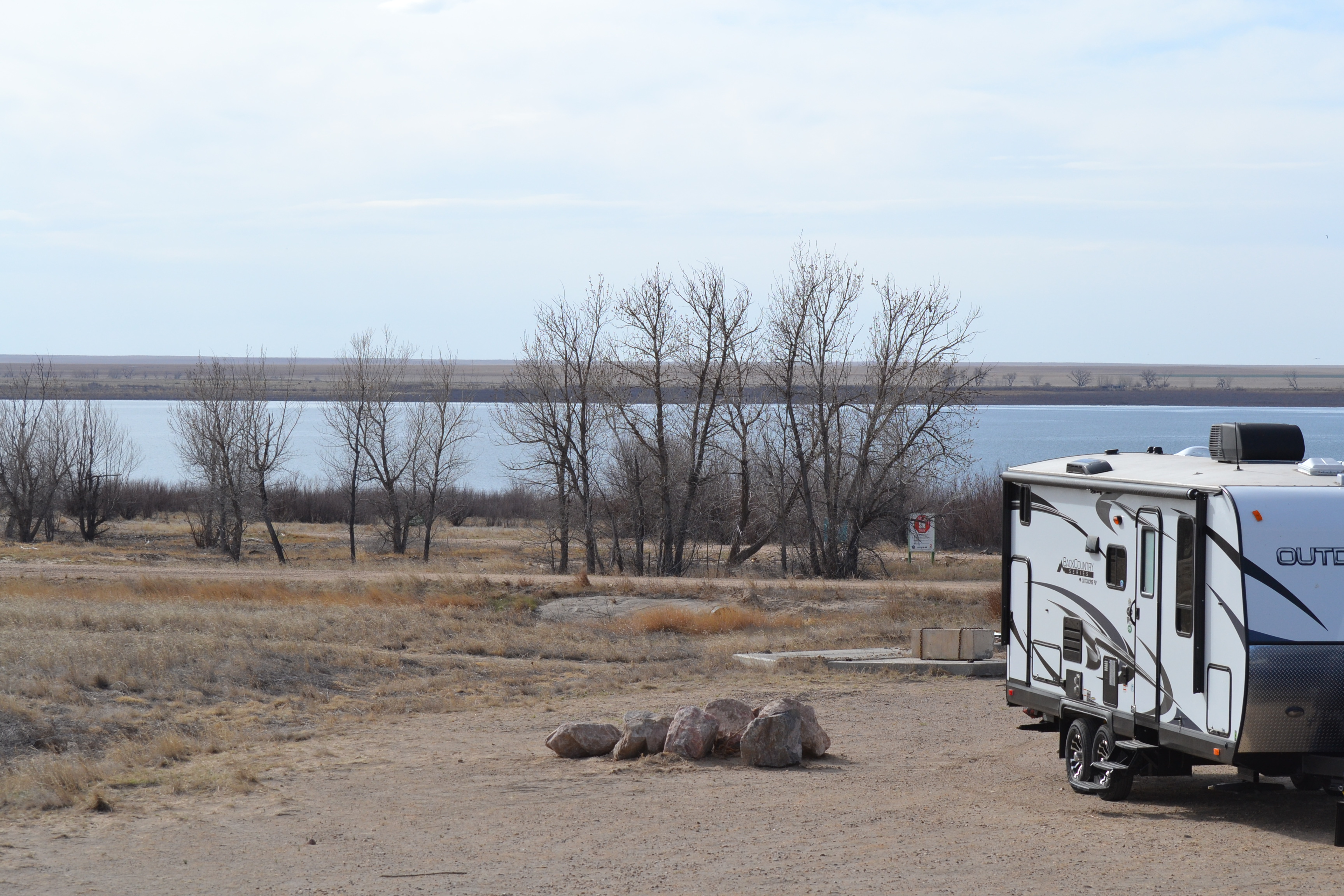
There is also a State Park campground at the end of Chaffe county road 194 right on the Arkansas river. The turn off for the BLM land is not really marked. The sign post was leaning up against a tree when we were here. The road is between a couple of driveways and the only telltale was a fire pit in a turn-a-round area just south of CR 194.

IMG_1869

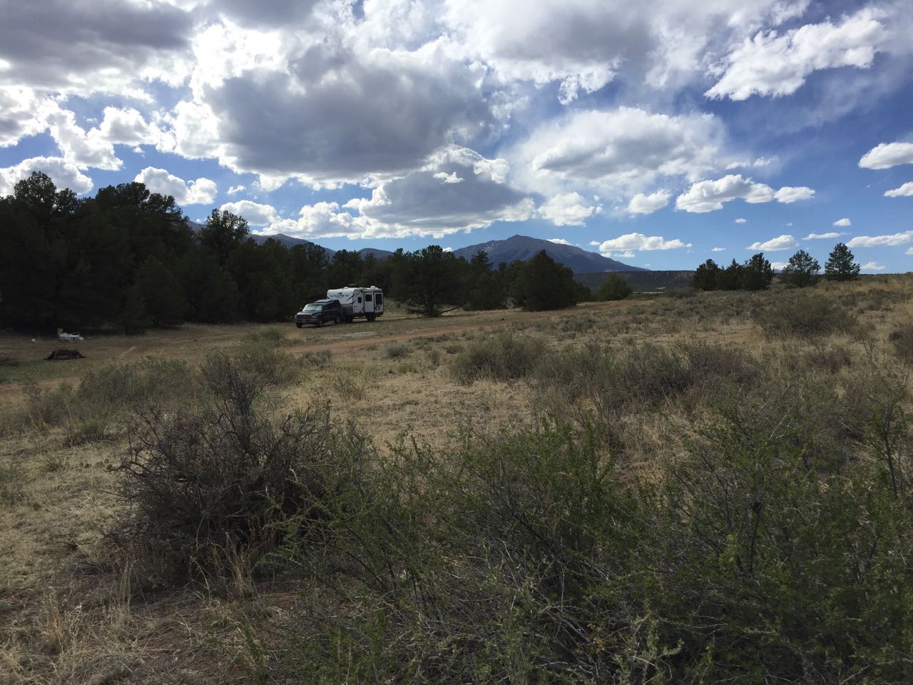
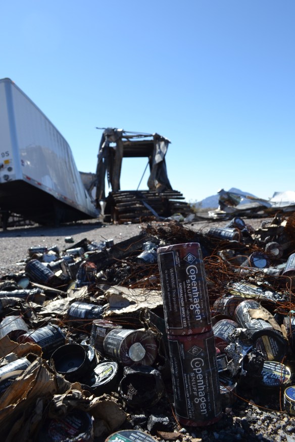
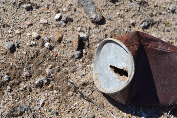
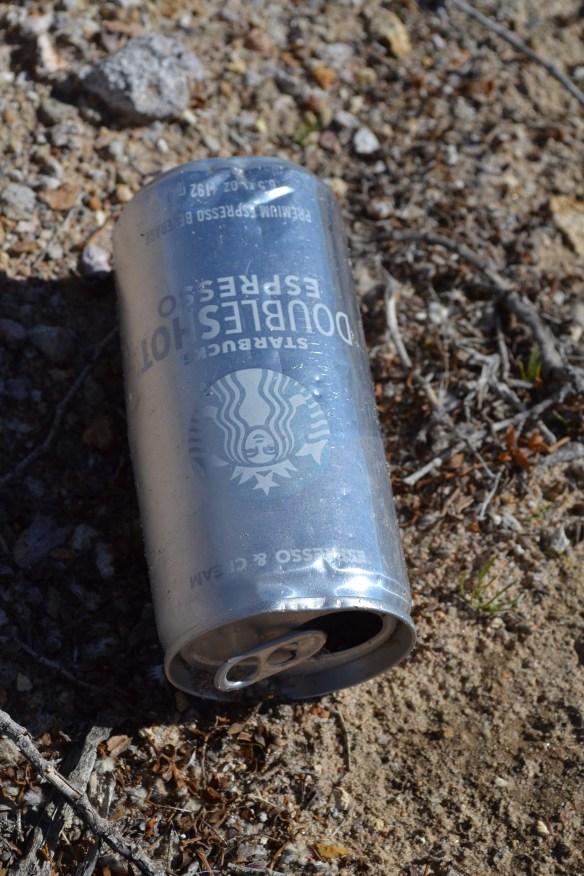
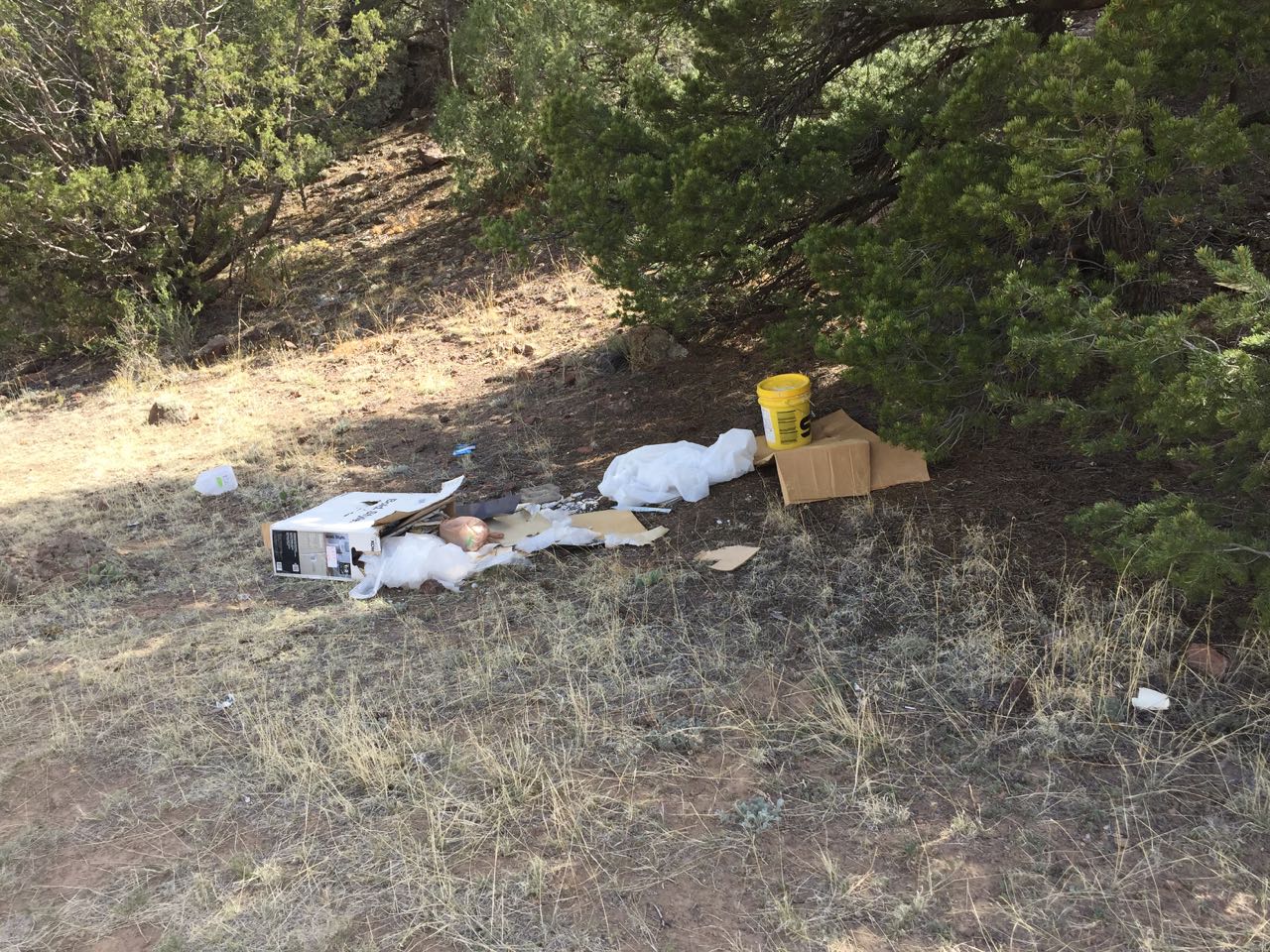
We got a decent spot on a slight slope and our nearest neighbor was 150 meters away. There was a pile of trash next to the fire pit when we were here. Seems someone remodeled a bathroom and left the debris at the camp spot (this is why we don’t have nice things). The elevation is about 7600’ so the high temp was 85-ish during the day. Clouds blocked most of the sun in the afternoon and night-time promised temps in the 40’s.

IMG_1867

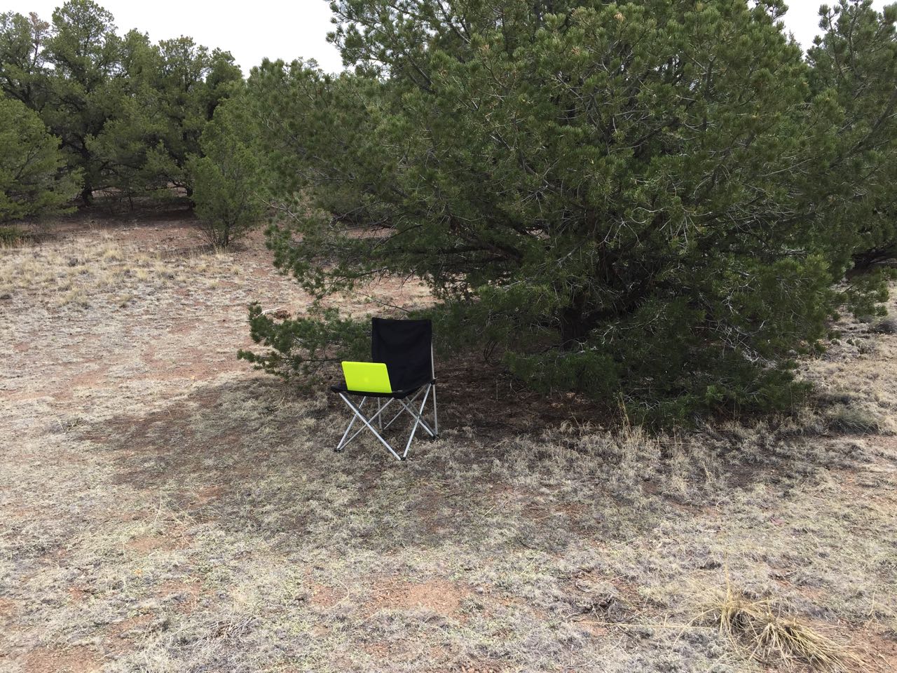
There were 3 bars of 3G and 1 bar of LTE verizon service, but I could not get a useful internet connection at the campsite. I did manage an internet connection from the top of a nearby hill.

IMG_1872

The area is without services so bring it if you need it.
The closest town is Salida, CO and it’s got gas, groceries, and a hot springs pool.
The camp sites are within ear-shot of the highway so big trucks can be heard, but the cars on the highway are mostly inaudible The road to the river gets pretty busy on the weekends with rafters going to and fro.

Screen Shot 2018-05-25 at 17.38.29

– – – – – – – – – – – – – – – – – – – – – – – – – – – – – – – – – – – – – – – – – – – –

Green!!

DSC_0775
Gallup to Mancos, CO
We arrived just it time to experience the first real rain of spring! Water flowing in the gutters, new snow on the peaks, the whole enchilada!

We camped a little east of Mancos on top of a ridge at about 8000’ and got to sit through a couple of rain showers. The drive north from Gallup was downwind and that’s always nice.

DSC_0772

The scene was mostly shades of brown and tan until we left Cortez heading east and climbed into the mountains. As I recall it’s been largely brown and tan since leaving mid Texas. West through Texas and New Mexico, south into Arizona – all browns and tans. The green hills of southwest Colorado are a pleasant surprise!

DSC_0774


Flagstaff, AZ

IMG_1849

Camping near Marshall Lake at 7100’ the weather was delightful! High temps in the 70’s and a gentle westerly breeze. All the cats had a chance to go for a walk, roll in the dirt, and eat some grass. The Overland Expo was in Flagstaff at the same time we were there. After the Expo closed for the day we saw several adventure camp-mobiles roll past our camp site. I had half-a-notion to attend the Expo, but when I saw that the line to get in stretched from the Fairgrounds all the way to the Walmart (~ 3 miles) I changed my mind.

IMG_1848

Instead I grabbed a bike out of the truck and rode up the road around Marshall Lake/ wetlands. The lake is more of a wetland habitat for ducks and such. Not so much a house-boat lake or a water skiing lake. Did the hike-a-bike around the wetlands in the dry season so there was no mud to contend with. Speaking of dry, after siesta a Ranger came by and told us the forest was closing in a few days because of the fire danger. Time to skedaddle!


Queens State Wildlife Area

DSC_0698

Queens SWA is a series of reservoirs in southeast Colorado between Eads and Lamar. I found out about it from UltimateCampgrounds.com and decided to check them out. After some time with google maps and the internet I decided on the Nee Gronde reservoir. We stopped at the parking area on County road C and hiked around a bit. The parking area is about a mile west of Highway 287 so there was no road noise. There are a few boat ramps, but none of them is near the waters edge. Two of the very nicest boat ramps are about 100 meters from the water. When we were there the wind was blowing about 10 gusting to 20 so the insects were not a problem.

IMG_1779

We camped in a parking lot, which I imagine was built for boat trailer parking, and had the lot to ourselves. There are 3 parking areas each with enough room for a big Class A to turn around. There are no services but there are great views of the sun setting over the lake.

IMG_1780

In the evening we could hear the red-wing black birds and meadowlarks singing. Later the white-tail deer strolled by and the coyotes began howling. In the morning the deer were back accompanied by the hoot of an owl.

DSC_0699